



Inventory Planning
Anyone planning for existing buildings needs certainty, not assumptions: We survey buildings with millimeter-level precision using laser scanning and drones—and deliver as-built plans and BIM models that you can use to continue your work right away.
Every renovation, addition, and restoration project begins with the same question: What’s actually here? Our as-built planning department answers this question using state-of-the-art technology—from precise laser scanning and 3D point clouds to the finished 2D plan or BIM model. And because we work with existing buildings every day, we know exactly what an as-built plan needs to include so that planners, owners, and experts can work with it effectively.

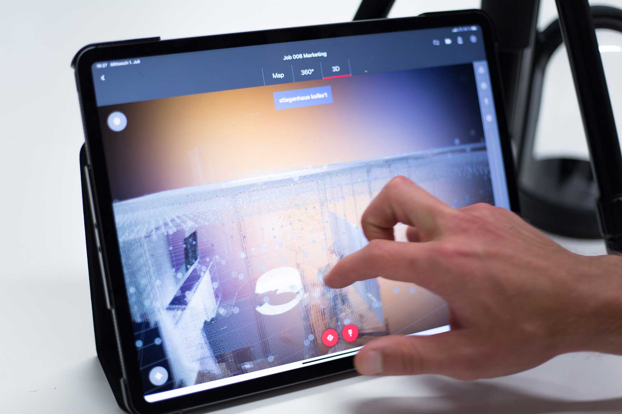
We think like planners because that’s what we are. Our as-built plans are created in our architecture firm —we know from our own experience what information a plan must contain so that it can serve as a foundation for further work.
State-of-the-art technology, open formats. Laser scanning, drones, photogrammetry—and output to ARCHICAD or vendor-neutral IFC. You’re not tied to anything.
The Power of What We Have. “Build on what we have instead of tearing it down” is our motto as a Climate Alliance business —and taking a precise inventory is the first step toward that goal.
View all properties for sale and rent.
How We Work
On-Site Reality Capturing
We map your building using precise laser scanning—in collaboration with civil engineering surveying firms, if necessary—and supplement the data with 360° images and photographic documentation.
Drone documentation
We use drones and photogrammetry to capture images of roofs, facades, and hard-to-reach areas—either as a supplement to another project or as a standalone assignment.
From Point Cloud to Model
The 3D point cloud is used to create a digital representation of your property: as a 2D CAD drawing or a 3D BIM model—level of detail (LoD) to be determined by mutual agreement, output in ARCHICAD or as an open IFC file.
Ready-made floor plans
You'll receive attractive and clearly laid-out floor plans—ready to use for remodeling, subdividing, or selling your property.
Who We Are Compiling the Inventory For
Property Owners: Reliableplans for remodeling, renovation, conversion into separate units, or sale.
Planners and Architectural Firms: Weprovide the foundation; you do the planning. Delivered as 2D CAD, ARCHICAD, or IFC; LoD to be determined by mutual agreement.
Real Estate Developers and Property Management Companies: Reliableland and property data for acquisition, development, and management.
Hospitality and Food Service: Installation during normal operations—quickly and discreetly.
Experts: Objective, documented foundations for expert opinions and appraisals.
Why SNOW.IMMO
Architecture first.
We are a real estate developer with roots in an architectural firm—for us, design and quality aren’t just optional extras; they’re the very reason we exist.
Straight from the developer, with no real estate agent involved.
You buy without paying a real estate agent's commission, and from the very first conversation all the way through to the handover of the keys, you'll be dealing with the same people—the ones who designed and built your home.
Built to last, with sincerity.
Wood construction, energy-efficient building methods, and durable materials are standard for us—asa Climate Alliance member company, we build values that last.
Frequently Asked Questions
How much does an assessment cost?
How accurate is laser scanning?
What is the difference between a 2D drawing and a BIM model?
Do I need my own plans for subdivision or sale?
Do you also work for other architecture and planning firms?
Let's talk about your building
Renovation, remodeling, conversion into separate units, or sale—the first step is always the same: knowing what you have. Tell us about your property.